Fly-By Image Processing for Real Time Congestion Mitigation

Research Team
Nasim Uddin, University of Alabama at Birmingham
Billy Williams, North Carolina State University
Project Description
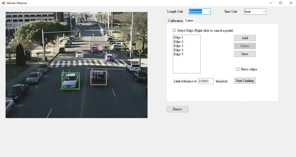
Traffic monitoring is the centerpiece of congestion mitigation and traffic management. Whilst surveillance technologies have matured enough to provide informative depiction for the traffic, the current state of the art systems cannot support immediate congestion problems. Proactive congestion mitigation requires a) real-time surveillance for traffic parameters, b) prediction for imminent congestion onset, in order to c) inform responsible parties to take immediate actions to prevent congestion. This framework is founded on short time analysis (1-5 minutes) which is not valid up to date. We foresee that using a “flock” of interconnected, self-managed drones, can establish a deployable system to perform immediate monitoring/assessment for traffic condition to infer if congestion is approached. The drones will use their own computational and communication capabilities to host an integrated reconnaissance platform that performs traffic monitoring and traffic analysis in real-time fashion. Unlike conventional image processing approaches, a specialized “inverse image” processing technique will be investigated in this project to suit the limited computing abilities for the drones, namely “Model Based Image Processing” (MBIP). In this technique, the targeted features are represented using specific statistical distribution patterns and/or equations. The patterns/equations will be utilized as an inverse filter that will be applied by the reconnaissance device to trigger if the feature has been observed, in this case the feature will correlate to imminent congestion onset. This module requires a very limited computational power and therefore it can be easily integrated in onboard drone circuits. The targeted feature (herein, features correlated to traffic congestion) will be reproduced utilizing a traffic simulation models. The developed framework will be introduced as Traffic Model-Based Image Processing (T-MBIP). The proposed methodology will be tested first in a hardware in the loop simulation environment to examine its fidelity and then, if possible, in a full scale field environment. The project will advance the state of proactive traffic and congestion management by embedding a distributed, simulation-based traffic state prediction system within the integrated drone surveillance software to enable congestion mitigations actions to be undertaken before congestion happens rather than after traffic flow has already broken down.
Products (see Project Brief for detailed description)
- Drone Perching Mechanism – Mechanism allows drones to land on vertical or horizontal steel surfaces.
- Real-Time Vehicle Location Model – Model calculates the exact location of vehicles using images captured from cameras mounted on drones.